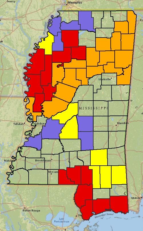
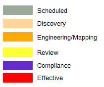
Home   Status   MS-NFHL   Contacts   MGI   Links  

Risk Map
Mississippi Flood Risk Mapping, Assessment, and Planning

Last Updated : April 22, 2021

For information regarding Risk Mapping, Assessment, and Planning,
choose a County on the map or from the list below.

Choose a County:


Quarterly RiskMAP Status Report

2021

1st Quarter pdf file

2020

1st Quarter pdf file

2nd Quarter pdf file

3rd Quarter pdf file

4th Quarter pdf file

2019

1st Quarter pdf file

2nd Quarter pdf file

3rd Quarter pdf file

4th Quarter pdf file

2018

2nd Quarter pdf file

3rd Quarter pdf file

4th Quarter pdf file
legend