|
|
|
|
||
| Home Status MS-NFHL Contacts MGI Links | ||
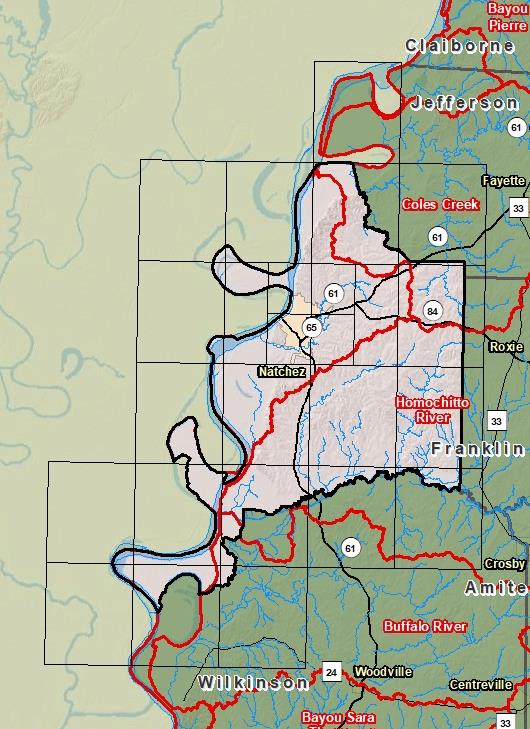
| Sub-Basin | % of County | Sq. Miles | |
|---|---|---|---|
| 1 | Lower Mississippi River - Natchez | 44.3% | 214.925 |
| 2 | Homochitto River | 42.6% | 206.766 |
| 3 | Coles Creek | 11.1% | 53.953 |
| 4 | Buffalo River | 1.9% | 9.166 |

County Seat: Natchez
Formed: 1817
Area: 486 square miles
Population: 31,737
Origin of County name: Named for President John Adams