|
|
|
|
||
| Home Status MS-NFHL Contacts MGI Links | ||
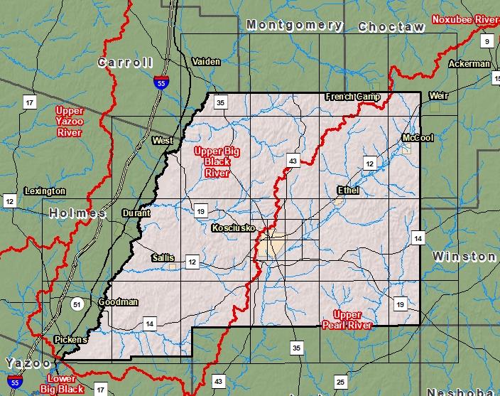
| Sub-Basin | % of County | Sq. Miles | |
|---|---|---|---|
| 1 | Upper Big Black River | 53.3% | 392.434 |
| 2 | Upper Pearl River | 46.6% | 343.154 |
| 3 | Lower Big Black River | 0.0% | 0.006 |

County Seat: Kosciusko
Formed: 1833
Area: 737 square miles
Population: 19,163
Origin of County name: Named for the Indian heroine "Attala"