Project Status: Engineering Phase
County approx. 763.6 square miles
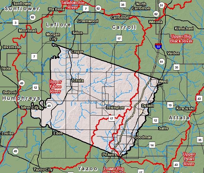
County Index Map

DFIRM Panels are provided as PDF documents.
Download a free PDF viewer.

Meetings
-
Discovery Meeting - Lower Big Black River - 08060202
Dec 13, 2012 - Jackson, MS
-
Discovery Meeting - Upper Yazoo River - 08030206
Dec 3, 2013 - Greenwood, MS
-
Abiacca Creek Levee Analysis and Mapping Procedure (LAMP) Stakeholder Engagement Meeting
Feb 20, 2019 - Tchula, MS
-
Abiacca Creek Local Levee Partnership Team LAMP Flood Risk Review Meeting
Mar 19, 2019 - Tchula, MS
Events
-
Discovery Report Published - Lower Big Black River - 08060202
Jan 16, 2014
-
Discovery Report Published - Upper Yazoo River - 08030206
Mar 20, 2015
Documents
-
Discovery Report - Lower Big Black - 08060202
Jan 16, 2014
Discovery Report (0.7 MB)
-
Discovery Report - Upper Yazoo River - 08030206
Mar 20, 2015
Discovery Report (2.0 MB)
County Seat: Lexington
Formed: 1833
Area: 764 square miles
Population: 18,459
Origin of County name: Named for David Holmes, last Governor of the Mississippi Territory