Project Status: Engineering Phase
County approx. 771.2 square miles
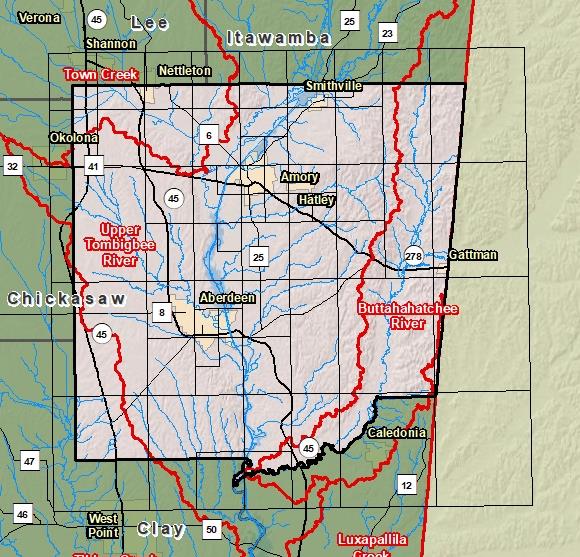
County Index Map

DFIRM Panels are provided as PDF documents.
Download a free PDF viewer.

Meetings
-
Discovery Meeting - Upper Tombigbee Watershed - 03160101
Feb 21, 2019 - Amory, MS
Events
-
Discovery Report Published - Upper Tombigbee Watershed - 03160101
Oct 25, 2019
Documents
-
Discovery Report - Upper Tombigbee Watershed - 03160101
Oct 25, 2019
Discovery Report (34.2 MB)
County Seat: Aberdeen
Formed: 1821
Area: 772 square miles
Population: 36,003
Origin of County name: Named for President James Monroe