FY2009Lauderdale County
Fiscal Year:
2009
Project Type:
Unmet Mapping Needs
Status:
DFIRM EffectiveYou can access DFIRM data and maps at FEMA's Map Service Center (MSC)  County Index Map
Flood Insurance Study
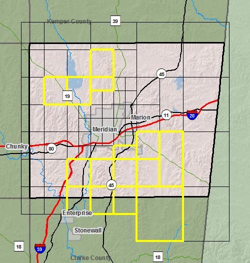
County Index Map
Flood Insurance Study
 Note: Panel and map PDF files can be large, up to 75mb.
Meetings
- Scoping Meeting :
Sep 17, 2009 - 1:30 PM
- Final Community Officials Meeting :
Oct 13, 2011 - 4:00 PM
- Open House Meeting :
Oct 13, 2011 - 5:00 PM
Events
- 90 Day Community Appeal
Start Date: May 03, 2012
End Date: Aug 01, 2012- Preliminary DFIRM and FIS delivery:
Sep 07, 2011- Letter of Final Determination:
Nov 16, 2012- Study Effective Date:
May 16, 2013Documents
No Documents Available
County Seat: Meridian
Formed: 1833
Area: 715 square miles
Population: 78,161
Origin of County name: Named for Colonel James Lauderdale, who was killed in the Battle of New Orleans.