|
|
|
|
||
| Home Status MS-NFHL Contacts MGI Links | ||
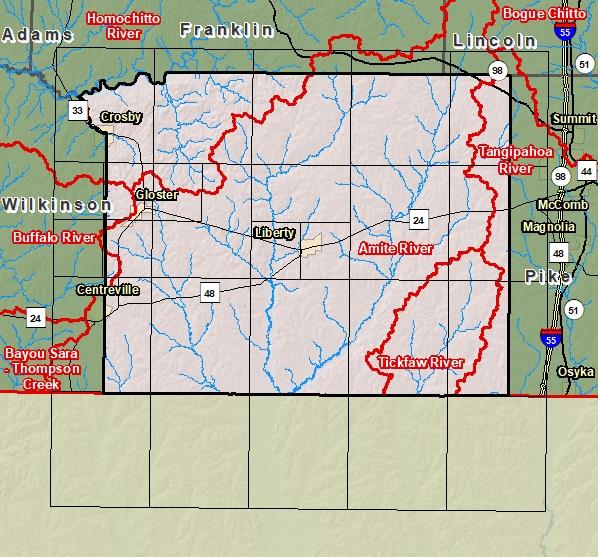
| Sub-Basin | % of County | Sq. Miles | |
|---|---|---|---|
| 1 | Amite River | 70.6% | 516.180 |
| 2 | Homochitto River | 12.7% | 92.788 |
| 3 | Tickfaw River | 9.2% | 67.132 |
| 4 | Tangipahoa River | 6.4% | 46.680 |
| 5 | Buffalo River | 1.1% | 8.080 |

County Seat: Liberty
Formed: 1817
Area: 732 square miles
Population: 12,629
Origin of County name: Named for the Indian word which means "friendly river".