Project Status: No Activity
County approx. 408.0 square miles
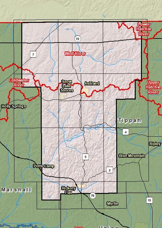
County Index Map

DFIRM Panels are provided as PDF documents.
Download a free PDF viewer.

Meetings
-
Discovery Meeting - Coldwater Watershed - 08030204
Mar 26, 2014 - Hernando, MS
Events
-
Discovery Report Published - Coldwater Watershed - 08030204
Jan 6, 2016
Documents
-
Discovery Report - Coldwater Watershed - 08030204
Jan 6, 2016
Discovery Report (1.35 MB)
County Seat: Ashland
Formed: 1870
Area: 409 square miles
Population: 8,296
Origin of County name: Named for Samuel Benton, a general in the Confederate army.