|
|
|
|
||
| Home Status MS-NFHL Contacts MGI Links | ||
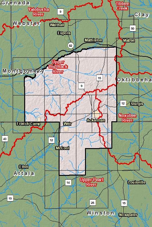
| Sub-Basin | % of County | Sq. Miles | |
|---|---|---|---|
| 1 | Upper Big Black River | 53.9% | 225.825 |
| 2 | Upper Pearl River | 34.9% | 146.232 |
| 3 | Noxubee River | 11.2% | 46.801 |
| 4 | Tibbee Creek | 0.1% | 0.341 |

County Seat: Ackerman
Formed: 1833
Area: 420 square miles
Population: 8,294
Origin of County name: Named for Choctaw Indians (word means "seperation")