Project Status: Compliance Phase 499.7 square miles
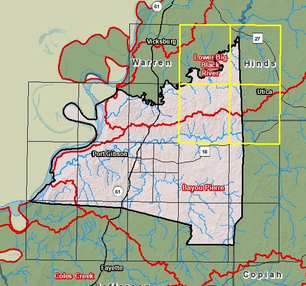
County Index Map
Changes since last FIRM
DFIRM Panels are provided as PDF documents.
Download a free PDF viewer.
Active Panels:
28021C0050D
28021C0075D
28021C0175D
28021C0200D
Meetings
Discovery Meeting - Lower Big Black River - 08060202
Dec 13, 2012 - Jackson, MS
Flood Risk Review
Oct 20, 2016 - Jackson, MS
Preliminary DFIRM Community Coordination (PDCC)
Apr 12, 2018 - Jackson, MS
Flood Risk Open House
Apr 12, 2018 - Jackson, MS
Events
Discovery Report Published - Lower Big Black River - 08060202
Jan 16, 2014
Preliminary DFIRM and FIS Delivery
Feb 9, 2018
90 Day Community Appeal Period
Aug 8, 2019
- Nov 6, 2019
Letter of Final Determination
Jan 20, 2021
Study Effective Date
Jul 20, 2021
Documents
Discovery Report - Lower Big Black - 08060202
Jan 16, 2014Discovery Report (0.7 MB)
Flood Insurance Study (Preliminary)
Feb 9, 2018Flood Insurance Study Vol 1 (1.9 MB)
County Seat: Port GibsonFormed: 1817Area: 501 square milesPopulation: 9,080Origin of County name: Named for William C. C. Claiborne, Governor of Mississippi Terrritory.