Project Status: No Activity
County approx. 778.3 square miles
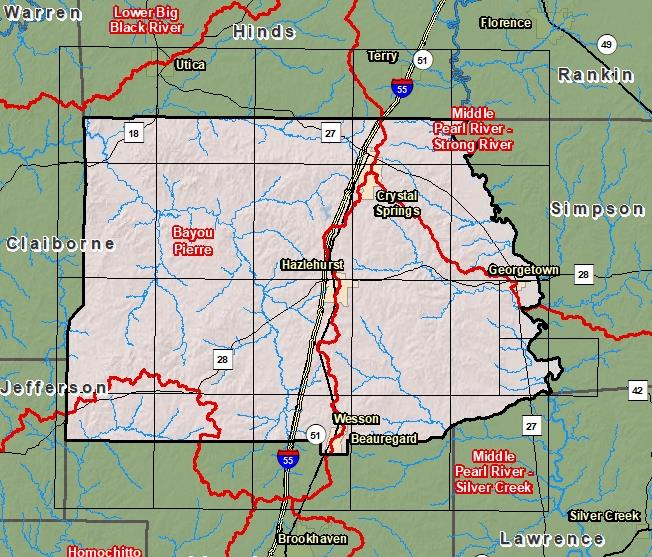
County Index Map

DFIRM Panels are provided as PDF documents.
Download a free PDF viewer.

Meetings
-
Discovery Meeting - Middle Pearl-Strong River - 03180002
Jun 26, 2012 - Jackson, MS
Events
-
Discovery Report Published - Middle Pearl-Strong River - 03180002
Jul 26, 2013
Documents
-
Discovery Report - Middle Pearl-Strong - 03180002
Jul 26, 2013
Discovery Report (1.34 MB)
County Seat: Hazlehurst
Formed: 1823
Area: 779 square miles
Population: 28,797
Origin of County name: Named for Indian word meaning "calling panther".