|
|
|
|
||
| Home Status MS-NFHL Contacts MGI Links | ||
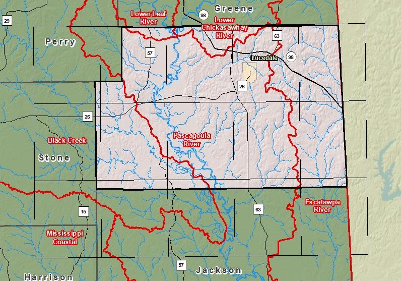
| Sub-Basin | % of County | Sq. Miles | |
|---|---|---|---|
| 1 | Pascagoula River | 53.3% | 257.385 |
| 2 | Escatawpa River | 24.2% | 116.642 |
| 3 | Black Creek | 17.7% | 85.612 |
| 4 | Lower Chickasawhay River | 3.7% | 17.654 |
| 5 | Lower Leaf River | 1.1% | 5.416 |

County Seat: Lucedale
Formed: 1910
Area: 484 square miles
Population: 23,303
Origin of County name: Named for Senator J. Z. George, lawyer, jurist and statesman.