Project Status: Review Phase 717.9 square miles
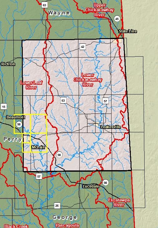
County Index Map
DFIRM Panels are provided as PDF documents.
Download a free PDF viewer.
Active Panels:
28041C0215E
28041C0220E
28041C0302E
28041C0304E
28041C0310E
Meetings
Discovery Meeting - Lower Leaf River - 03170005
Nov 5, 2015 - Laurel, MS
Flood Risk Review - Lower Leaf River - 03170005
Mar 20, 2019 - Laurel, MS
Flood Risk Review - Lower Leaf River - 03170005
Mar 21, 2019 - Petal, MS
Preliminary DFIRM Community Coordination (PDCC)
Aug 19, 2019 - Laurel, MS
Flood Risk Open House
Aug 19, 2019 - Laurel, MS
Preliminary DFIRM Community Coordination (PDCC)
Aug 20, 2019 - Petal, MS
Flood Risk Open House
Aug 20, 2019 - Petal, MS
Events
Discovery Report Published - Lower Leaf River - 03170005
May 16, 2016
Preliminary DFIRM and FIS Delivery
Jun 28, 2019
90 Day Community Appeal Period
Nov 17, 2020
- Feb 15, 2021
Letter of Final Determination
To Be Determined
Study Effective Date
To Be Determined
Documents
Discovery Report - Lower Leaf River - 03170005
May 16, 2016Discovery Report (2.55 MB)
Flood Insurance Study (Preliminary)
Jun 28, 2019Flood Insurance Study Vol 1 (1.86 MB)
Press Release - Lower Leaf River - 03170005
Nov 13, 2020Greene County Press Release ( MB)
County Seat: LeakesvilleFormed: 1817Area: 719 square milesPopulation: 14,326Origin of County name: Named for General Nathaniel Greene, Revolutionary War hero.