Project Status: DFIRM Effective 547.6 square miles
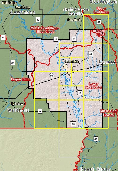
County Index Map
DFIRM Panels are provided as PDF documents.
Download a free PDF viewer.
Active Panels:
28091C0100E
28091C0165E
28091C0175E
28091C0200E
28091C0250E
28091C0260E
28091C0275E
28091C0300E
28091C0325E
28091C0350E
28091C0375E
Meetings
Discovery Meeting - Lower Pearl River - 03180004
Feb 7, 2012 - Poplarville, MS
Flood Risk Review
Sep 17, 2015 - Columbia, MS
Preliminary DFIRM Community Coordination (PDCC)
Jul 29, 2016 - Columbia, MS
Flood Risk Open House
Jul 29, 2016 - Columbia, MS
Events
Discovery Report Published - Lower Pearl River - 03180004
Dec 4, 2012
Preliminary DFIRM and FIS Delivery:
Mar 28, 2016
90 Day Community Appeal Period
Sep 20, 2018
- Dec 18, 2018
Letter of Final Determination
Apr 18, 2019
Study Effective Date
Oct 18, 2019
Documents
Discovery Report - Lower Pearl River - 03180004
Dec 4, 2012Discovery Report (0.4 MB)
Flood Insurance Study (Preliminary)
Mar 28, 2016Flood Insurance Study (1.93 MB)
County Seat: ColumbiaFormed: 1817Area: 548 square milesPopulation: 25,868Origin of County name: Named for General Francis Marion, Revolutionary War hero.