Project Status: Compliance Phase 708.6 square miles
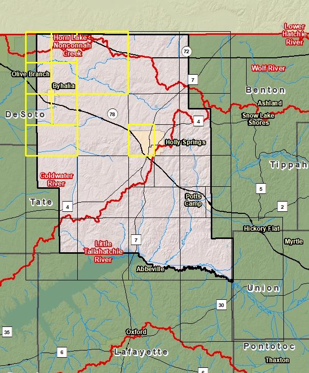
County Index Map
Changes since last FIRM
DFIRM Panels are provided as PDF documents.
Download a free PDF viewer.
Active Panels:
28093C0005D
28093C0010D
28093C0015D
28093C0020D
28093C0050D
28093C0105D
28093C0110D
28093C0125D
28093C0165D
Meetings
Discovery Meeting - Coldwater Watershed - 08030204
Mar 26, 2014 - Hernando, MS
Flood Risk Review - Coldwater River - 08030204
Sep 6, 2018 - Sardis, MS
Preliminary DFIRM Community Coordination (PDCC) - Coldwater Watershed - 08030204
Jan 30, 2019 - Holly Springs, MS
Flood Risk Open House - Coldwater Watershed - 08030204
Jan 30, 2019 - Holly Springs, MS
Preliminary DFIRM Community Coordination (PDCC) - Coldwater Watershed - 08030204
Feb 7, 2019 - Marks, MS
Flood Risk Open House - Coldwater Watershed - 08030204
Feb 7, 2019 - Marks, MS
Events
Discovery Report Published - Coldwater Watershed - 08030204
Jan 6, 2016
Preliminary DFIRM and FIS Delivery
Nov 14, 2018
90 Day Community Appeal Period
Oct 10, 2019
- Jan 8, 2020
Letter of Final Determination
Nov 4, 2020
Study Effective Date
May 4, 2021
Documents
Discovery Report - Coldwater Watershed - 08030204
Jan 6, 2016Discovery Report (1.35 MB)
Flood Insurance Study (Preliminary)
Nov 14, 2018Flood Insurance Study Vol 1 (3.18 MB)
County Seat: Holly SpringsFormed: 1836Area: 710 square milesPopulation: 37,144Origin of County name: Named for John Marshall, Chief Justice of the United States Supreme Court.