|
|
|
|
||
| Home Status MS-NFHL Contacts MGI Links | ||
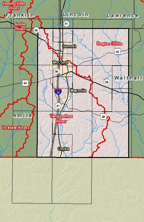
| Sub-Basin | % of County | Sq. Miles | |
|---|---|---|---|
| 1 | Tangipahoa River | 50.9% | 208.711 |
| 2 | Bogue Chitto | 49.1% | 201.073 |

County Seat: Magnolia
Formed: 1817
Area: 411 square miles
Population: 40,058
Origin of County name: Named for General Zebulon Pike, army commander and explorer.