Project Status: Engineering Phase
County approx. 500.2 square miles
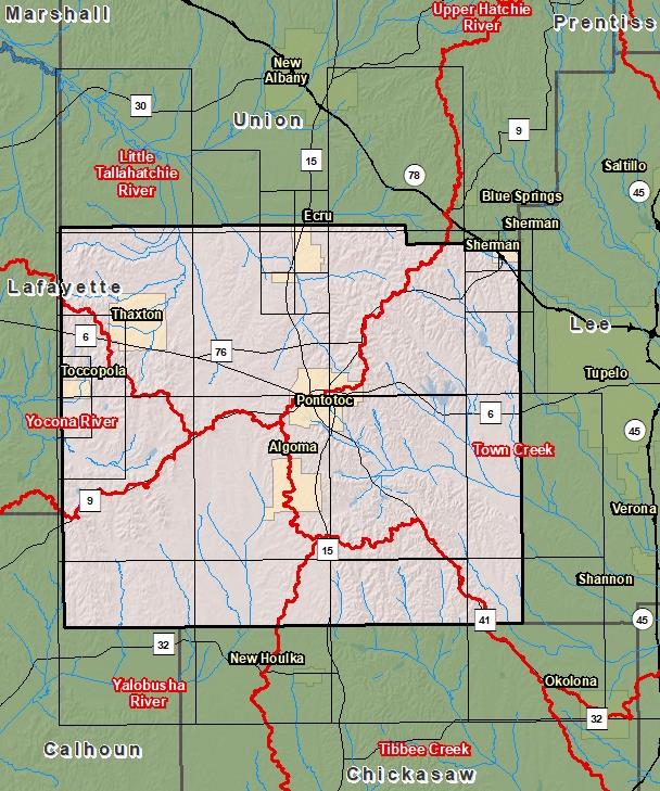
County Index Map

DFIRM Panels are provided as PDF documents.
Download a free PDF viewer.

Meetings
-
Discovery Meeting - Yalobusha River - 08030205
Jun 27, 2018 - Grenada, MS
Documents
-
Discovery Report - Yalobusha Watershed - 08030205
Jan 11, 2019
Discovery Report (2.75 MB)
County Seat: Pontotoc
Formed: 1836
Area: 501 square miles
Population: 30,950
Origin of County name: Named for Indian word meaning "weed prairie" or "land of hanging grapes".