Project Status: Compliance Phase
County approx. 410.6 square miles
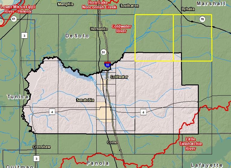
County Index Map
 Changes since last FIRM
DFIRM Panels are provided as PDF documents.
Download a free PDF viewer.

Active Panels:
Meetings
-
Discovery Meeting - Coldwater Watershed - 08030204
Mar 26, 2014 - Hernando, MS
-
Flood Risk Review - Coldwater River - 08030204
Sep 6, 2018 - Sardis, MS
-
Preliminary DFIRM Community Coordination (PDCC) - Coldwater Watershed - 08030204
Jan 30, 2019 - Holly Springs, MS
-
Flood Risk Open House - Coldwater Watershed - 08030204
Jan 30, 2019 - Holly Springs, MS
-
Preliminary DFIRM Community Coordination (PDCC)- Coldwater Watershed - 08030204
Feb 7, 2019 - Marks, MS
-
Flood Risk Open House- Coldwater Watershed - 08030204
Feb 7, 2019 - Marks, MS
Events
-
Discovery Report Published - Coldwater Watershed - 08030204
Jan 6, 2016
-
Preliminary DFIRM and FIS Delivery
Nov 14, 2018
-
90 Day Community Appeal Period
Oct 8, 2019
- Jan 6, 2020
-
Letter of Final Determination
Nov 4, 2020
-
Study Effective Date
May 4, 2021
Documents
-
Discovery Report - Coldwater Watershed - 08030204
Jan 6, 2016
Discovery Report (1.35 MB)
-
Flood Insurance Study (Preliminary)
Nov 14, 2018
Flood Insurance Study Vol 1 (2.11 MB)
County Seat: Senatobia
Formed: 1873
Area: 411 square miles
Population: 28,204
Origin of County name: Named for T. S. Tate, pioneer settler.