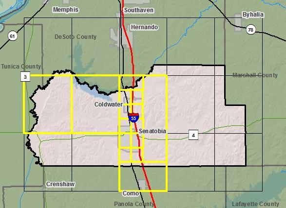
FY2009Tate County
Fiscal Year:
2009
Project Type:
Unmet Mapping Needs
Status:
DFIRM EffectiveYou can access DFIRM data and maps at FEMA's Map Service Center (MSC)  County Index Map
Flood Insurance Study
County Index Map
Flood Insurance Study
 Note: Panel and map PDF files can be large, up to 75mb.
Meetings
- Scoping Meeting :
Oct 7, 2009 - 2:00 PM
- Final Community Officials Meeting :
Mar 7, 2012 - 3:00 PM
- Open House Meeting :
Mar 7, 2012 - 4:30 PM
Events
- 90 Day Community Appeal
Start Date: Sep 11, 2012
End Date: Dec 10, 2012- Preliminary DFIRM and FIS delivery:
Jan 24, 2012- Letter of Final Determination:
Apr 02, 2013- Study Effective Date:
Oct 02, 2013Documents
No Documents Available
County Seat: Senatobia
Formed: 1873
Area: 411 square miles
Population: 25,370
Origin of County name: Named for T. S. Tate, pioneer settler.