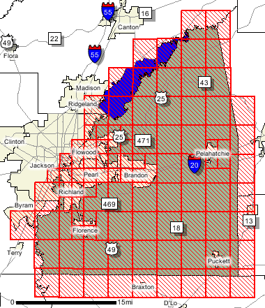
Home   Status   MS-NFHL   Contacts   MGI   Links  
 
Back To State Map...


Tip: Right-Click the map panel and choose
"Save Target As..." or "Save Link As...".
Save the panel pdf to your computer before trying to open it up in Adobe Reader.
 

Map Mod
Rankin County 
FEMA DFIRM Funding Year:
FY2002
Status: DFIRM Effective
You can access DFIRM data and maps at FEMA's Map Service Center (MSC)


  County Seat: Brandon
  Formed: 1828
  Area: 806 square miles
  Population: 115,327
  Origin of County name: Named for Christopher Rankin, U.S. Representative.
 
Statistics from the:
Mississippi Official and Statistical Register
Mississippi Blue Book
(2016-2020)