Map ModYazoo County
FEMA DFIRM Funding Year:FY2008
Status:
DFIRM EffectiveYou can access DFIRM data and maps at FEMA's Map Service Center (MSC)  County Index Map
Flood Insurance StudyPreliminary DFIRM Panels
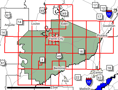
County Index Map
Flood Insurance StudyPreliminary DFIRM Panels (45)
 Note: Panel and map PDF files can be large, up to 75mb.
Meetings
Meet and Greet :
Scoping Meeting :
9/9/2008 Scoping Meeting Follow-Up :
Final Community Officials Meeting :
11/18/2010 "Flood Map Open House" Meeting :
11/18/2010 Events and Documents
Proposed Studies Scoping Map Preliminary DFIRM and FIS delivery :
9/30/201090 Day Community Appeal Start Date :
1/26/201190 Day Community Appeal End Date :
5/27/2011Letter of Final Determination Date :
8/16/2011Study Effective Date :
2/16/2012
County Seat: Yazoo City
Formed: 1823
Area: 934 square miles
Population: 28,149
Origin of County name: Named for Indian word meaning "river of death".