Map ModLauderdale County
FEMA DFIRM Funding Year:FY2005
Status:
DFIRM EffectiveYou can access DFIRM data and maps at FEMA's Map Service Center (MSC)  County Index Map
Flood Insurance StudyPreliminary DFIRM Panels
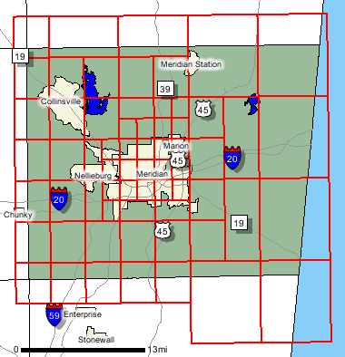
County Index Map
Flood Insurance StudyPreliminary DFIRM Panels (64)
 Note: Panel and map PDF files can be large, up to 75mb.
Meetings
Meet and Greet :
7/28/2005 Scoping Meeting :
9/2/2005 Scoping Meeting Follow-Up :
10/19/2005 Final Community Officials Meeting :
11/13/2008 "Flood Map Open House" Meeting :
11/13/2008 Events and Documents
Proposed Studies Scoping Map Preliminary DFIRM and FIS delivery :
9/30/200890 Day Community Appeal Start Date :
11/14/200890 Day Community Appeal End Date :
2/11/2009Letter of Final Determination Date :
8/3/2009Study Effective Date :
2/3/2010
County Seat: Meridian
Formed: 1833
Area: 715 square miles
Population: 78,161
Origin of County name: Named for Colonel James Lauderdale, who was killed in the Battle of New Orleans.