|
|
|
|
||
| Home Status MS-NFHL Contacts MGI Links | ||
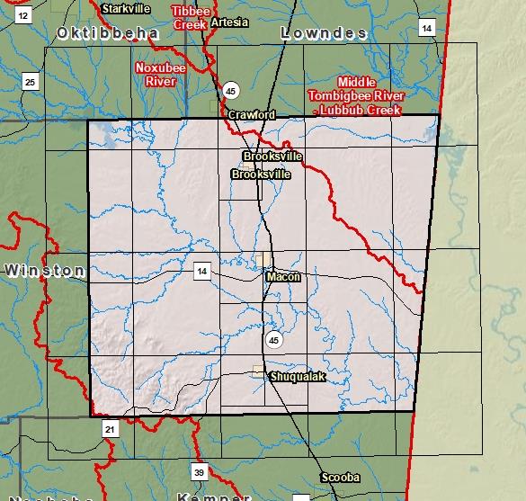
| Sub-Basin | % of County | Sq. Miles | |
|---|---|---|---|
| 1 | Noxubee River | 82.4% | 576.103 |
| 2 | Middle Tombigbee River - Lubbub Creek | 17.6% | 122.864 |
| 3 | Upper Pearl River | 0.1% | 0.447 |
| 4 | Sucarnoochee River | 0.0% | 0.022 |

County Seat: Macon
Formed: 1833
Area: 700 square miles
Population: 11,115
Origin of County name: Named for Indian word meaning "stinking water".