|
|
|
|
||
| Home Status MS-NFHL Contacts MGI Links | ||
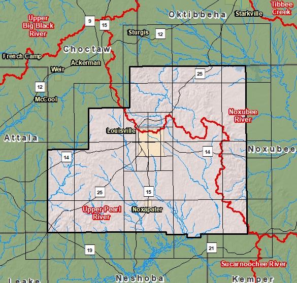
| Sub-Basin | % of County | Sq. Miles | |
|---|---|---|---|
| 1 | Upper Pearl River | 66.8% | 406.965 |
| 2 | Noxubee River | 33.2% | 201.944 |

County Seat: Louisville
Formed: 1833
Area: 610 square miles
Population: 18,478
Origin of County name: Named for Louis Winston, distinguished citizen of Mississippi.