Project Status: DFIRM Effective 494.1 square miles
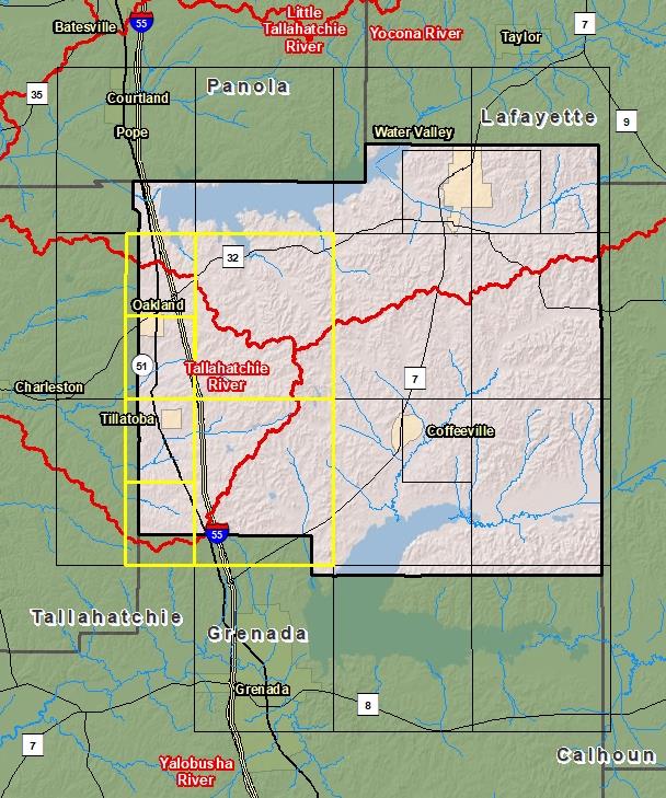
County Index Map
Changes since last FIRM
DFIRM Panels are provided as PDF documents.
Download a free PDF viewer.
Active Panels:
28161C0110D
28161C0120D
28161C0150D
28161C0210D
28161C0220D
28161C0250D
Meetings
Discovery Meeting - Tallahatchie River - 08030202
Feb 20, 2014 - Batesville, MS
Discovery Meeting - Yalobusha River - 08030205
Jun 27, 2018 - Grenada, MS
Flood Risk Review - Tallahatchie River - 08030202
Dec 5, 2018 - Batesville, MS
Preliminary DFIRM Community Coordination (PDCC) - Tallahatchie Watershed - 08030202
Mar 18, 2019 - Batesville, MS
Flood Risk Open House - Tallahatchie Watershed - 08030202
Mar 18, 2019 - Batesville, MS
Flood Risk Open House - Tallahatchie Watershed - 08030202
Mar 19, 2019 - Charleston, MS
Events
Discovery Report Published - Tallahatchie River - 08030202
Feb 9, 2016
Discovery Report Published - Yalobusha Watershed - 08030205
Jan 11, 2019
Preliminary DFIRM and FIS Delivery
Feb 13, 2019
90 Day Community Appeal Period
Oct 10, 2019
- Jan 8, 2020
Letter of Final Determination
Sep 23, 2020
Study Effective Date
Mar 23, 2021
Documents
Discovery Report - Tallahatchie River - 08030202
Feb 9, 2016Discovery Report (21.3 MB)
Discovery Report - Yalobusha Watershed - 08030205
Jan 11, 2019Discovery Report (2.75 MB)
Flood Insurance Study (Preliminary)
Feb 13, 2019Flood Insurance Study Vol 1 (3.58 MB)
County Seat: Coffeeville and Water ValleyFormed: 1833Area: 495 square milesPopulation: 12,276Origin of County name: Named for the Indian word meaning "tadpole place".