Project Status: Engineering Phase
County approx. 633.6 square miles
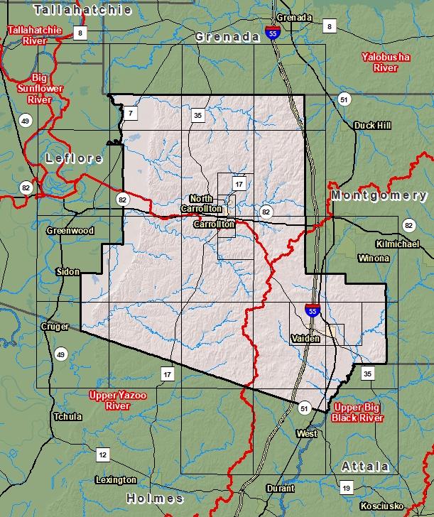
County Index Map

DFIRM Panels are provided as PDF documents.
Download a free PDF viewer.

Meetings
-
Discovery Meeting - Upper Yazoo River - 08030206
Dec 3, 2013 - Greenwood, MS
-
Discovery Meeting - Yalobusha River - 08030205
Jun 27, 2018 - Grenada, MS
-
Potococowa Levee Analysis and Mapping Procedure (LAMP) Stakeholder Engagement Meeting
Oct 22, 2018 - Carrollton, MS
-
Potococowa Local Levee Partnership Team Meeting
Jan 31, 2019 - Carrollton, MS
-
Potococowa Local Levee Partnership Team LAMP Flood Risk Review Meeting
Jan 31, 2019 - Carrollton, MS
-
Abiacca Creek Levee Analysis and Mapping Procedure (LAMP) Stakeholder Engagement Meeting
Feb 20, 2019 - Tchula, MS
-
Abiacca Creek Local Levee Partnership Team LAMP Flood Risk Review Meeting
Mar 19, 2019 - Tchula, MS
Events
-
Discovery Report Published - Upper Yazoo River - 08030206
Mar 20, 2015
-
Discovery Report Published - Yalobusha Watershed - 08030205
Jan 11, 2019
Documents
-
Discovery Report - Upper Yazoo River - 08030206
Mar 20, 2015
Discovery Report (2.0 MB)
-
Discovery Report - Yalobusha Watershed - 08030205
Jan 11, 2019
Discovery Report (2.75 MB)
County Seat: Carrollton and Vaiden
Formed: 1833
Area: 634 square miles
Population: 10,254
Origin of County name: Named for Charles Carroll, a signer of the Declaration of Independence.