Project Status: No Activity
County approx. 676.7 square miles
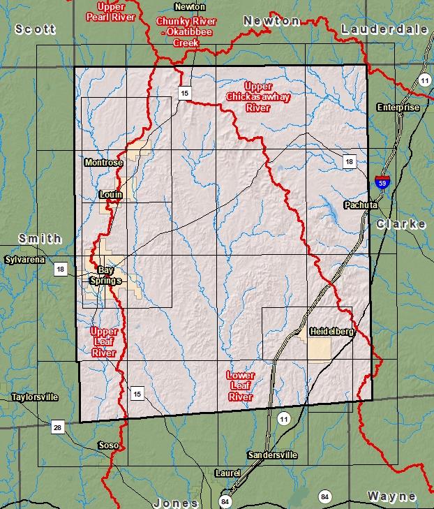
County Index Map

DFIRM Panels are provided as PDF documents.
Download a free PDF viewer.

Meetings
-
Discovery Meeting - Lower Leaf River - 03170005
Nov 5, 2015 - Laurel, MS
Events
-
Discovery Report Published - Lower Leaf River - 03170005
May 16, 2016
Documents
-
Discovery Report - Lower Leaf River - 03170005
May 16, 2016
Discovery Report (2.55 MB)
County Seat: Bay Springs and Paulding
Formed: 1833
Area: 683 square miles
Population: 16,601
Origin of County name: Named for Sergeant Jasper, hero of the Revolutionary War.