Project Status: Compliance Phase
County approx. 636.2 square miles
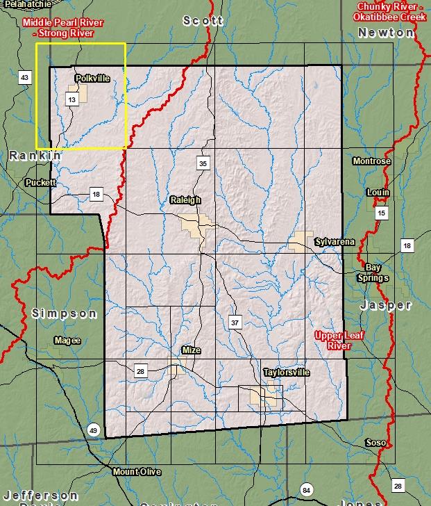
County Index Map

DFIRM Panels are provided as PDF documents.
Download a free PDF viewer.

Active Panels:
Meetings
-
Discovery Meeting - Middle Pearl-Strong River - 03180002
Jun 26, 2012 - Jackson, MS
-
Flood Risk Review
Jan 9, 2017 - Pearl, MS
-
Preliminary DFIRM Community Coordination (PDCC)
Apr 10, 2018 - Pearl, MS
-
Flood Risk Open House
Apr 10, 2018 - Pearl, MS
Events
-
Discovery Report Published - Middle Pearl-Strong River - 03180002
Jul 26, 2013
-
Preliminary DFIRM and FIS Delivery
Feb 9, 2018
-
90 Day Community Appeal Period
Aug 8, 2019
- Nov 6, 2019
-
Letter of Final Determination
Jan 20, 2021
-
Study Effective Date
Jul 20, 2021
Documents
-
Discovery Report - Middle Pearl-Strong - 03180002
Jul 26, 2013
Discovery Report (1.34 MB)
-
Flood Insurance Study (Preliminary)
Feb 9, 2018
Flood Insurance Study Vol 1 (0.5 MB)
County Seat: Raleigh
Formed: 1833
Area: 637 square miles
Population: 16,188
Origin of County name: Named for Major David Smith of Hinds County.