Project Status: Engineering Phase
County approx. 423.0 square miles
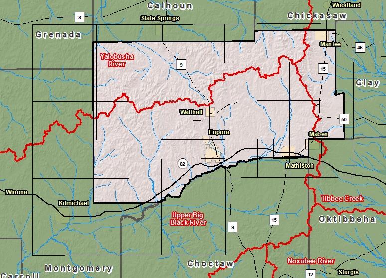
County Index Map

DFIRM Panels are provided as PDF documents.
Download a free PDF viewer.

Meetings
-
Discovery Meeting - Yalobusha River - 08030205
Jun 27, 2018 - Grenada, MS
Events
-
Discovery Report Published - Yalobusha Watershed - 08030205
Jan 11, 2019
Documents
-
Discovery Report - Yalobusha Watershed - 08030205
Jan 11, 2019
Discovery Report (2.75 MB)
County Seat: Walthall
Formed: 1874
Area: 423 square miles
Population: 9,972
Origin of County name: Named for Daniel Webster, early American statesman.