![[Company Logo Image]](images/bannerdeq.jpg)
Geologic Maps
|
Geologic Maps |
|
|
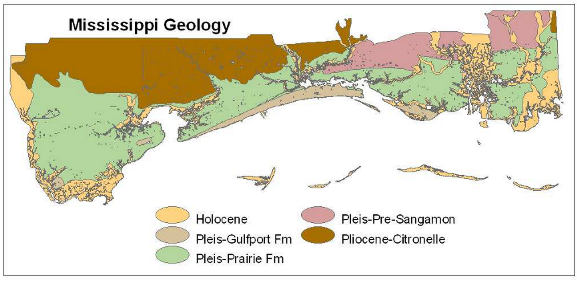
The Coastal Section's Geologic Map of Coastal Mississippi is at a regional scale (1:150,000) and in MSTM coordinate system. It offers higher resolution along the coast than the 1:500,000 state Surface Geology map. For geologic maps of the state please visit the Mississippi Office of Geology Home. Coastal Geologyor Printable Version in PDF
|
|
Send mail to
Webmaster
with questions or comments about this web site. |