![[Company Logo Image]](images/bannerdeq.jpg)
Landuse/Landcover Maps
|
Landuse/Landcover Maps |
|
|
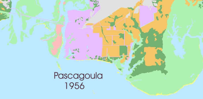
Land-use/Land cover maps are provided in the MSTM coordinate system. Land use/Land cover maps include the 1950's, 1970's, and 1990's. The Coastal Section of the Mississippi Office of Geology conducted a study of changes in Mississippi's coastal wetlands and land use/ land cover from 1950's to 1992. Nineteen USGS quadrangles with land below the 15-foot contour (the coastal zone) were evaluated in a study of historical land use/land cover. Over 200 Cowardin classification system categories were simplified into seven categories for ease of interpretation. The seven categories are water, marsh, forest, beach, agriculture, developed, and dredge spoil. U.S. Fish and Wildlife Service National Wetlands Inventory (NWI) data developed in the 1950s and 1970s were compiled and compared to 1991-2 data developed from 1:24,000 color infrared aerial photography. Data was compared in each quadrangle for the three time periods and recently combined to create a complete coast. Download compressed zipped shapefiles for 1958, 1978-1982, and 1992.
|
|
Send mail to
Webmaster
with questions or comments about this web site. |