![[Company Logo Image]](images/bannerdeq.jpg)
Tideland Maps
|
Tideland Maps |
|
|
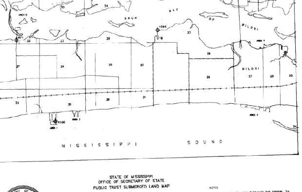
Tideland maps define the legal description of the shoreline for the Mississippi Coast and have been scanned and georectified to the MSTM coordinate system. There are 32 separate quadrangle maps covering the Mississippi Coast.
Index map
Download Tideland Maps
|
|
Send mail to
Webmaster
with questions or comments about this web site. |