Map ModCopiah County
FEMA DFIRM Funding Year:FY2005
Status:
DFIRM EffectiveYou can access DFIRM data and maps at FEMA's Map Service Center (MSC)  County Index Map
Flood Insurance StudyPreliminary DFIRM Panels
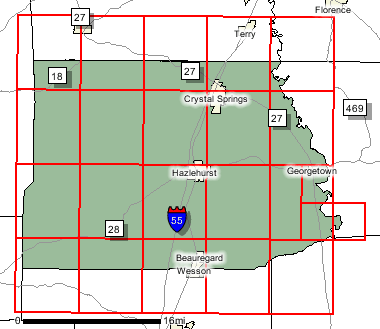
County Index Map
Flood Insurance StudyPreliminary DFIRM Panels (23)
 Note: Panel and map PDF files can be large, up to 75mb.
Meetings
Meet and Greet :
7/7/2005 Scoping Meeting :
8/4/2005 Scoping Meeting Follow-Up :
Final Community Officials Meeting :
11/27/2007 "Flood Map Open House" Meeting :
11/27/2007 Events and Documents
Proposed Studies Scoping Map Preliminary DFIRM and FIS delivery :
11/7/200790 Day Community Appeal Start Date :
90 Day Community Appeal End Date :
Letter of Final Determination Date :
6/16/2008Study Effective Date :
12/13/2008
County Seat: Hazlehurst
Formed: 1823
Area: 779 square miles
Population: 28,757
Origin of County name: Named for Indian word meaning "calling panther".