Project Status: Engineering Phase
County approx. 503.5 square miles
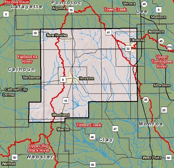
County Index Map

DFIRM Panels are provided as PDF documents.
Download a free PDF viewer.

Meetings
-
Discovery Meeting - Yalobusha River - 08030205
Jun 27, 2018 - Grenada, MS
-
Discovery Meeting - Upper Tombigbee Watershed - 03160101
Feb 21, 2019 - Amory, MS
Events
-
Discovery Report Published - Yalobusha Watershed - 08030205
Jan 11, 2019
-
Discovery Report Published - Upper Tombigbee Watershed - 03160101
Oct 25, 2019
Documents
-
Discovery Report - Yalobusha Watershed - 08030205
Jan 11, 2019
Discovery Report (2.75 MB)
-
Discovery Report - Upper Tombigbee Watershed - 03160101
Oct 25, 2019
Discovery Report (34.2 MB)
County Seat: Houston and Okolona
Formed: 1836
Area: 504 square miles
Population: 17,313
Origin of County name: Named for Chickasaw Indians (word means "rebellion")