![[Company Logo Image]](images/bannerdeq.jpg)
Historic Maps
|
Historic Maps |
|
|
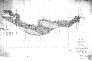
Historic Maps are available from a number of different sources. The scanned images are useful in highlighting changes to the environment over time. Some maps do not have high spatial accuracy, but give a glimpse into what features were present and how they were perceived. The historic T-sheets have been geo-rectified using previously digitized historic shorelines from the same maps. These maps provide accuracy as well as perspective on the environment and are regularly used in scientific research.
|
|
Send mail to
Webmaster
with questions or comments about this web site. |